Updated October 1, 2021
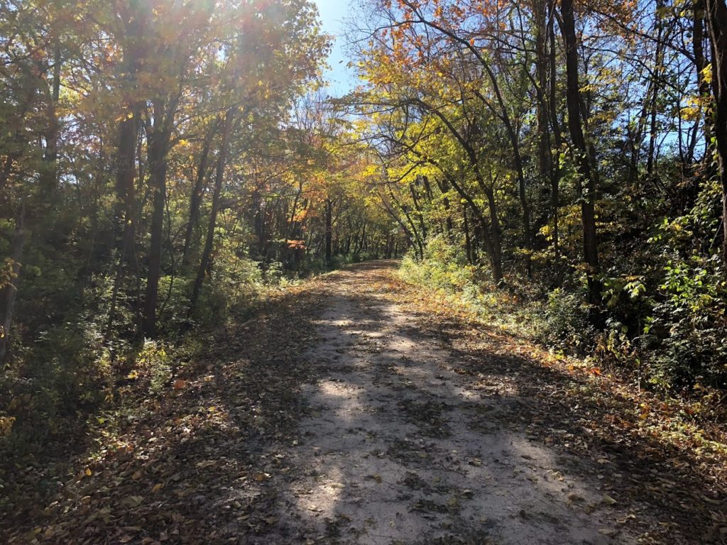
Fall is the perfect time to traverse the Katy Trail. Grab your layers and and hit the trail. With the right timing, take in the beautiful autumn foliage that the tree lined path has to offer.
Closure Map
This map is maintained by the Missouri State Parks and lists most trail closures and detours.
Closures and cautions summarized below were last updated 10/1/2021. Please reference map above for the most up to date information.
Temporary Closures
- MM 181 – 181.6 – Closed due to the Salt Creek bridge being out. Trail users should use signed detour and not cross the barrier at MM 178.5 and MM 181.4. – Detour Info
Exercise Caution
- MM 39 – 41 – Stay alert to heavy equipment crossing the Katy Trail for City of St. Charles project.
- MM 117 – Temporary trail now open – follow signs. Please use caution as you ride through this area and be aware of changing trail surface conditions.
- MM 133 – Trail users are advised to use caution crossing over this bridge due to pot hole on the side of the trail. This location has been marked with orange fencing.
- MM 151 – Caution advised, proceed slowly. Watch for rough, uneven trail surface with ruts and gullies.
- MM 163 – Please use caution and watch for heavy equipment as repairs are made near Cooper’s Landing.
- MM 195 – Bicyclists should use caution in this section due to multiple deep cracks on dry trail surface. Small cones have been placed near the cracks to alert trail users to proceed slowly.
- MM 210 – 212 – Rough Surface
- MM 218 – Rock slide on a portion of the trail
- MM 259 – Rough Surface
Note: While we strive to keep conditions as accurate as possible they can and will change. KatyTrailMO is not responsible for inaccurate closures and or listings. As always, stay alert to your surroundings and follow any signs posted. If you encounter a sections of the trail not listed, let us know.

