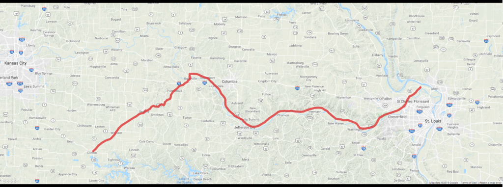
Planning a trip on such an expansive trail network is made easy with our interactive maps. Whether you are visiting from afar or a regular trail user, our resources will have your covered.
Katy Trailhead Map
This map was created to explore the many trailheads and towns that line the Katy Trail. Users will be able to click the desired trailhead for additional information and directions to your desired trailheads. Visit the trailhead map here.
Katy Trail Distance Calculator
This calculator acts an easy way to calculate the distance between trailheads when planning a trip on the trail. Finding out the distance you will be, or have traveled is as easy as clicking point A and point B. Visit the mileage calculator here.
Katy Trail Parking Map
Where can I park along the Katy Trail? This is perhaps one of the most frequently asked questions for trail visitors. Our Interactive parking map can be found here.
Katy Trail Camping Map
The Katy Trail Camping Map below outlines the most common locations for camping along the Katy Trail! Check out the interactive map here.
Katy Trail Advisory Map
This map is maintained by Missouri State Parks and shows trail advisories and closures as they have on record.

