Updated May 25, 2021
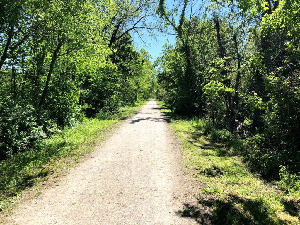
Spring is an excellent time to traverse the Katy Trail. Start 2021 out right and hit the gravel!
Closure Map
This map is maintained by the Missouri State Parks and lists most trail closures and detours.
Closures and cautions summarized below were last updated 5/25/2021. Please reference map above for the most up to date information.
Temporary Closures
- MM 116 – 118 – Rock fall on trail – no recommended detour
- MM 181 – 181.6 – Closed due to the Salt Creek bridge being out. Trail users should use signed detour and not cross the barrier at MM 178.5 and MM 181.4. – Detour Info
- East of MM 227.1, east of Sedalia Trailhead (beg. 11/14/16) alternate road route – Detour Info
- Rock Island Spur MM 245 – 262 – temporarily closed due to flooding over the trail
Exercise Caution
- MM 40 – 41 – Stay alert to heavy equipment crossing the Katy Trail for City of St. Charles project.
- MM 210 – 212 – Rough Surface
- MM 218 – Rock slide on a portion of the trail
- MM 224 – 226 – Trail users should be alert to heavy equipment activity laying rock and grading the trail surface. Trail surface may have loose rock.
- MM 227 – Sedalia/KT Depot store/museum hours: 9 a.m. to 4 p.m., Monday through Friday; open Saturdays through Nov. 21; closed weekends Nov. 28 through March. Event room rental availability limited to max. of 15 participants. Social distancing is required. More info
- MM 259 – Rough Surface
Note: While we strive to keep conditions as accurate as possible they can and will change. KatyTrailMO is not responsible for inaccurate closures and or listings. As always, stay alert to your surroundings and follow any signs posted. If you encounter a sections of the trail not listed, let us know.