August 11th, 2019
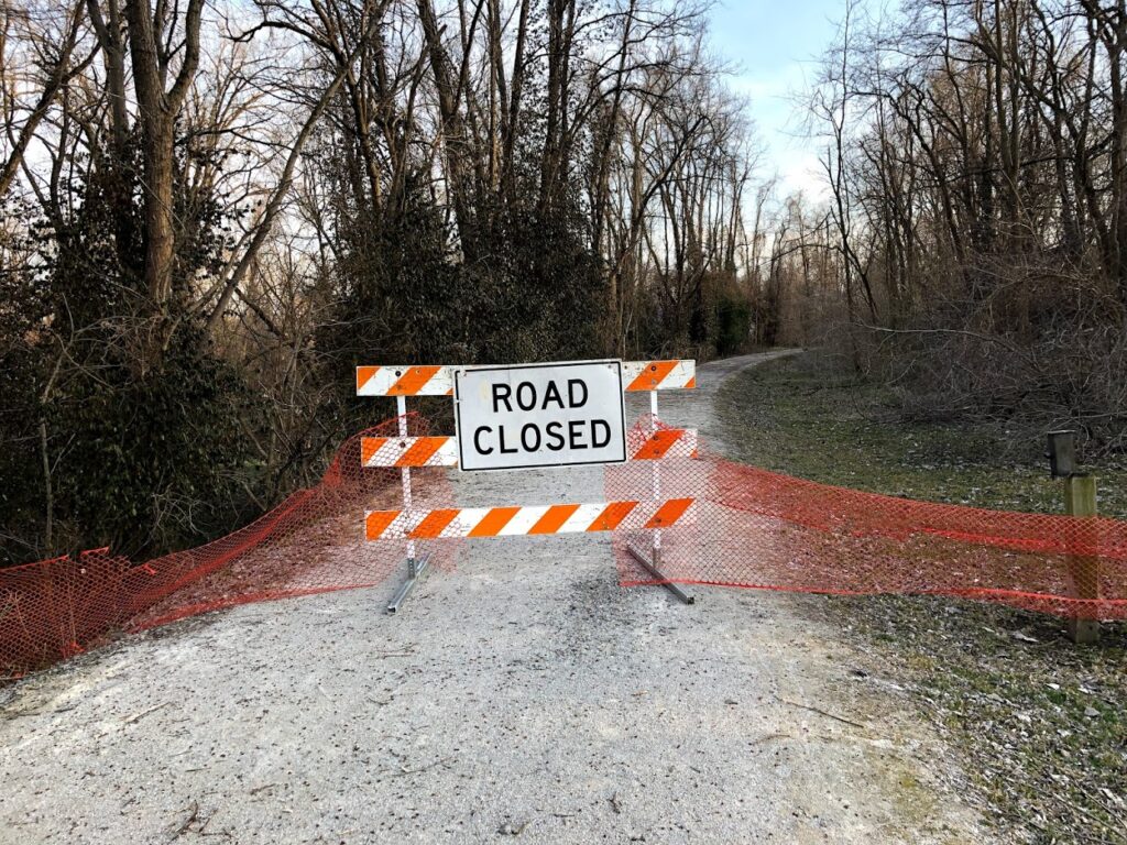
Waters have receded on the majority of the Katy Trail, however, trail conditions are still poor in areas that experienced flooding over the past several months.
Based on the damage caused by the comparable flood of 1993, Missouri State Parks staff expects to find holes, washouts, bridge damage, downed trees, debris, silt accumulation and inconsistent trail surfacing along the stretches of the trail that closely follow the river.
Temporary Closures
- MM 27 to MM 36, Machens Trailhead to east of St. Charles Trailhead (beg. 6/13/19) flooding – No recommended detour
- MM 62.6 to MM 64, west of Matson Traihead (beg. 3/4/19) bridge replacement – Detour Info
- MM 66.4 to MM 67.8, west of Augusta Trailhead (beg. 3/13/19) bridge replacement – Detour Info
- MM 96.9 to MM 97.1, at Case and slightly west (beg. 7/8/19) flooding – No recommended detour
- MM 116 to MM 137, west of Portland to near Wainwright (beg. 7/10/19) flooding – No recommended detour
- MM 143.2 to MM 149.8, North Jefferson Trailhead to Claysville (beg. at noon Aug. 7) debris removal – No recommended detour
- MM 153 to MM 162.9, west of Hartsburg to just east of Cooper’s Landing (beg. 7/9/19) flooding – No recommended detour
- MM 178.5 to MM 181.4, between intersection of Moniteau St. and First St. near Rocheport to Davisdale (beg. 7/10/19) – Detour Info
- MM 189.9 to MM 191.1, from County Rd 345 to Boonville Bridge (beg. 7/22/19) culvert replacement – Detour Info
Exercise Caution
- MM 45.7 to MM 56, Greens Bottom Trailhead to Weldon Spring Trailhead (beg. 8/5/19) trail grading; be alert to heavy equipment and vehicles on the trail
- MM 137 to MM 153.6, near Wainwright to Hartsburg (beg. 7/9/19) debris, slick mud, rough surface and standing water; be alert to heavy equipment and vehicles on the trail; some sections may be temporarily closed during debris removal
- MM 181.4 to MM 188.2, Davisdale to New Franklin Trailhead (beg. 7/10/19) debris, rough surface and standing water; be alert to heavy equipment and vehicles on the trail
- MM 189.2 west of New Franklin Trailhead (beg. 4/18/19) washouts next to Sulphur Creek Bridge
- MM 215.5 Clifton City (beg. 7/8/19) rough surface
- MM 218 west of Clifton City (beg. 5/13/19) due to a rock slide that blocks a portion of the trail
- MM 259.3 Lewis (beg. 7/8/19) rough surface
- Rock Island Spur between Pleasant Hill and Leeton (beg. 7/8/19) rough surface, some debris