Updated October 16, 2020
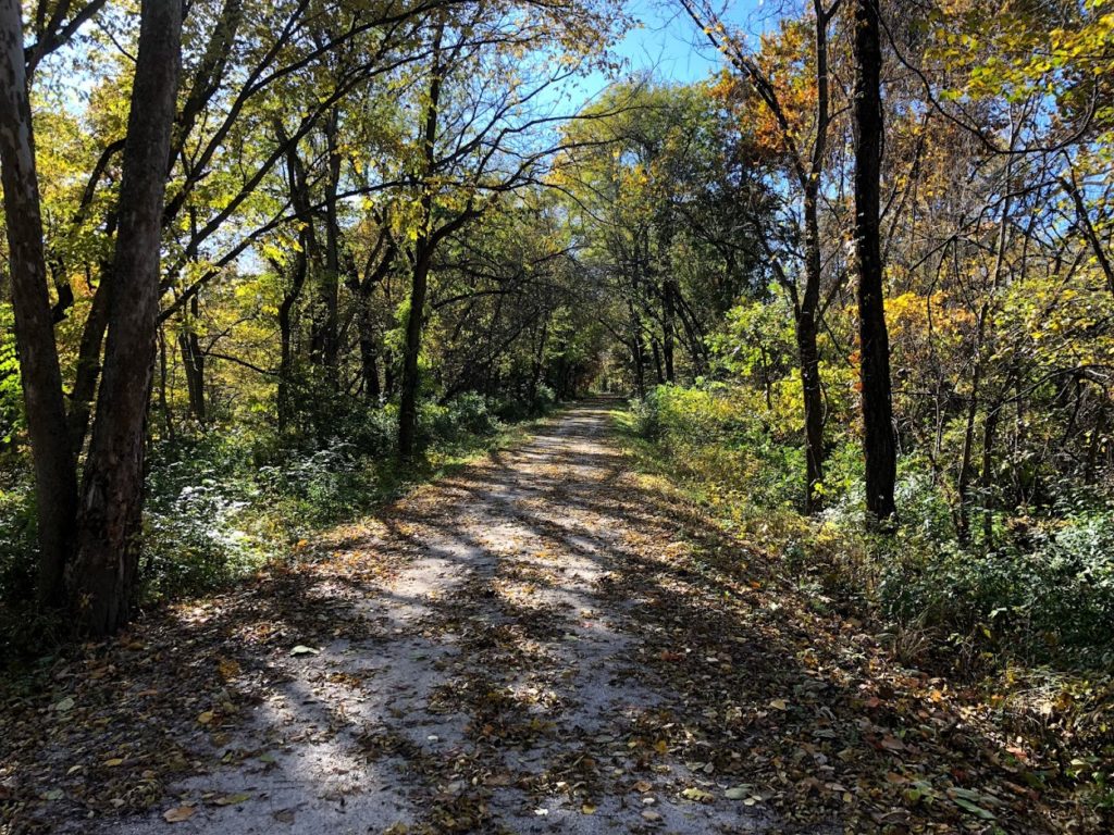
Fall is a prime time to traverse the Katy Trail. Last year during this time much of the trail was still closed due to historic flooding. 2020 has brought its own challenges but as far as trail conditions go, things are looking great and the entire trail is certainly passable with a bit of planning ahead.
Closure Map
This map is maintained by the Missouri State Parks and lists most trail closures and detours.
Closures and cautions summarized below were last updated 10/16/2020.
Temporary Closures
- MM 116 – 118 – Rock fall on trail – no recommended detour
- MM 178.5 – 181, Central Street in Rocheport to Davisdale (beg. 11/1/19) – flood damage – Additional flooding expected – Detour Info
- MM 181 – 181.6 – Closed due to the Salt Creek bridge being out. Trail users should use signed detour and not cross the barrier at MM 178.5 and MM 181.4.
- East of MM 227.1, east of Sedalia Trailhead (beg. 11/14/16) alternate road route – Detour Info
Exercise Caution
- MM 218 -Rock slide on a portion of the trail
- MM 229 – 230 – Trail Users should use caution due to heavy equipment loading rock on the trail weekly between Mondays and Thursdays.
- MM 259 – Rough Surface
Note: While we strive to keep conditions as accurate as possible they can and will change. KatyTrailMO is not responsible for inaccurate closures and or listings. As always, stay alert to your surroundings and follow any signs posted. If you encounter a sections of the trail not listed, let us know.