Updated May 22, 2020
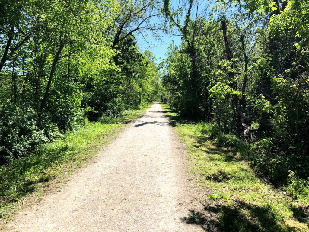
Spring is finally here and the trail is primed for visitors! If you’ve been following along, the Katy Trail experienced historic flooding in 2019 which shut down large portions of the limestone path. While much of the trail is open and ready to enjoy, some areas are still experiencing closures and advisories.
If you are looking foe COVID-19 related closures and event updates, we have that here.
Closure Map
This map is maintained by the Missouri State Parks and lists most trail closures and detours.
Closures and cautions summarized below are were last updated 5/22/2020.
Temporary Closures
- MM 27 to MM 28, Machens Trailhead – flood damage – No recommended detour
- MM 117 to 118, Flooding – No Recommended Detour
- MM 178.5 to MM 181, Central Street in Rocheport to Davisdale (beg. 11/1/19) – flood damage – Detour Info
- East of MM 227.1, east of Sedalia Trailhead (beg. 11/14/16) alternate road route – Detour Info
Exercise Caution
- MM 45.7 to MM 56, Greens Bottom Trailhead to Weldon Spring Trailhead (beg. 8/5/19) trail grading; be alert to heavy equipment and vehicles on the trail
- MM 66.3 to MM 70.5, west of Augusta Trailhead (beg. 8/28/19) debris, slick mud, erosion and rough surface; be alert to heavy equipment and vehicles on the trail; some section may be temporarily closed during trail repair
- MM 84.7 to MM 84.8, Treloar Be alert to heavy equipment and vehicles on the trail; some sections may be temporarily closed during debris removal.
- MM 125 to 153 – through Jefferson City – debris, slick mud, rough surface and standing water; be alert to heavy equipment and vehicles on the trail; some sections may be temporarily closed during debris removal
- MM 157.8 to MM 162.5, west of Hartsburg to just east of Cooper’s Landing (beg. 9/19/19) extensive flood damage, uneven surfaces with sharp 2 – 6 inch rocks, slick mud and sand, quick drop and rise in trail elevation. In some areas, bicycle riders may need to carry their bicycles. Trail users are strongly recommended to use bicycles with aggressive tread. Not recommended for thin street tires. Be alert for vehicles and heavy equipment on the trail.
- MM 171 to 178, Dump trucks and heavy equipment spreading new rock on the trail
- MM 189.9 to MM 191.1, from County Rd 345 to Boonville Bridge (beg. 10/10/19) passable with slick mud, uneven surfaces with sharp 2 to 6 inch rocks. In some areas, bicycle riders may need to carry their bicycles.
- MM 215 – Rough surface
- MM 218 west of Clifton City (beg. 5/13/19) due to a rock slide that blocks a portion of the trail
- MM 227 – 262 – Rough surface
- MM 229 to 230 – Heavy equipment on trail
- Rock Island Spur between Pleasant Hill and Leeton (beg. 7/8/19) rough surface, debris
Note: While we strive to keep conditions as accurate as possible they can and will change. KatyTrailMO is not responsible for inaccurate closures and or listings. As always, stay alert to your surroundings and follow any signs posted. If you encounter a sections of the trail not listed, let us know.
Are the restrooms at trailheads open now?
Hi Mike!
Restrooms have been open!
Is the trail still flooded at 117-118? Thanks. Jeff
Are the water fountains at trail heads open for use?
Trail is closed due to rockslide. Heading west you can get on Hwy 94 at Logan Creek bridge which is just west of MM117, head west to 2nd gravel road to the right which will take you just to the west of MM118.