Updated August 14, 2020
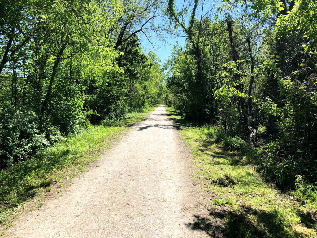
Summer is best spent outside and on the Katy Trail. Last year during this time much of the trail was closed due to historic flooding. 2020 has brought its own challenges but as far as trail conditions go, things are looking great and the entire trail is certainly passable with a bit of planning ahead.
Closure Map
This map is maintained by the Missouri State Parks and lists most trail closures and detours.
Closures and cautions summarized below are were last updated 8/14/2020.
Temporary Closures
- MM 27 – 28, Machens Trailhead – flood damage – No recommended detour, however, local riders have reported this is passable
- MM 84.70 – 85.6 – Closed due to flood damage repair – No recommended detour
- MM 116 – Portland Trailhead restroom temporarily closed for maintenance
- MM 116 – 118 – Rock fall on trail – no recommended detour
- MM 178.5 – 181, Central Street in Rocheport to Davisdale (beg. 11/1/19) – flood damage – Additional flooding expected – Detour Info
- MM 181 – 181.6 – Closed due to the Salt Creek bridge being out. Trail users should use signed detour and not cross the barrier at MM 178.5 and MM 181.4.
- East of MM 227.1, east of Sedalia Trailhead (beg. 11/14/16) alternate road route – Detour Info
Exercise Caution
- MM 28 – Construction Equipment may be on trail repairing damage
- MM 66.3 -MM 70.5, west of Augusta Trailhead (beg. 8/28/19) debris, slick mud, erosion and rough surface; be alert to heavy equipment and vehicles on the trail; some section may be temporarily closed during trail repair
- MM 125 – 153 – through Jefferson City – debris, slick mud, rough surface and standing water; be alert to heavy equipment and vehicles on the trail; some sections may be temporarily closed during debris removal
- MM 138 -141 – Be alert for tree trimming activity, with maintenance vehicles and equipment on the trail in this section.
- MM 171 – 178 – Trail users should be alert and use caution between Rocheport trailhead MM 178.3 to Huntsdale MM 171.7 where new rock was recently spread for trail surface repair. Until the new rock is packed down the trail surface will be soft.
- MM 218 west of Clifton City (beg. 5/13/19) due to a rock slide that blocks a portion of the trail
- MM 229 – 230 – Trail Users should use caution due to heavy equipment loading rock on the trail weekly between Mondays and Thursdays.
- Rock Island Spur between Pleasant Hill and Leeton (beg. 7/8/19) rough surface, debris
Note: While we strive to keep conditions as accurate as possible they can and will change. KatyTrailMO is not responsible for inaccurate closures and or listings. As always, stay alert to your surroundings and follow any signs posted. If you encounter a sections of the trail not listed, let us know.
There is a group of us planning to ride the KATY from Rocheport east to Portland. I see two closures listed; One at mile marker 150.8 -150.9 (Claysville) and the other at mile marker 116 – 118. This information was posted as of 7/16/2020. Is there a chance of the trail being repaired any time soon. The posting says “no detour”. Is there any way around these closures, like carry the bikes around? Thanks KC Guy
I was just at the closure at marker 117 on August 16, approaching from Portland. The trail is blocked and posted no access. I looked on google maps and can see a large rock pile across the trail a bit west. So there is a stretch of trail that is impassable. I suggest you ride on the trail until you are near 120 or 119 then ride on Route 94 a few miles around the blocked section. Zoom in with google maps for access from 94 to the trail again. You certainly can access the trail in Portland from 94.
Thanks for the info !! Hoping it’s fixed by the last week in Oct!!